Elk Grove Disaster Preparedness Project
City of Elk Grove
PlaceWorks provides an integrated and comprehensive range of planning, design, and environmental services for both public- and private-sector clients throughout California and beyond.
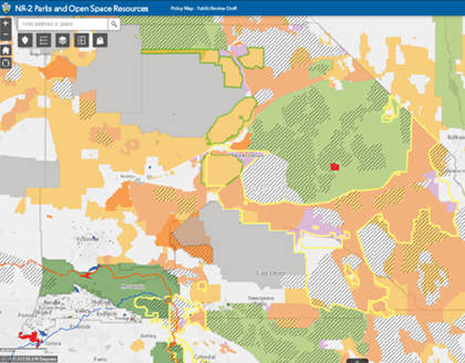
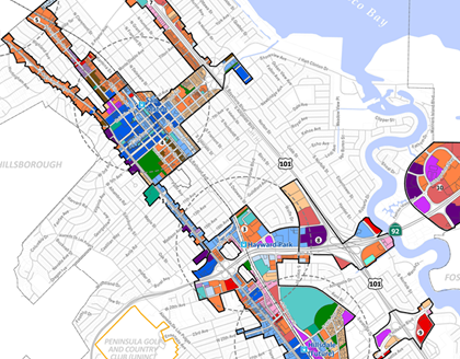
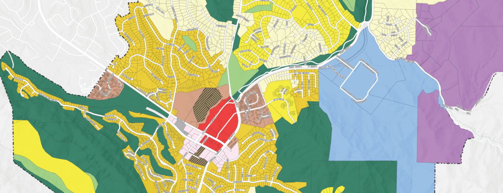
PlaceWorks uses GIS to transform complex information into intuitive maps and figures that reveal geographic insights and potential outcomes. We analyze existing conditions and site suitability, model natural resources and land use alternatives, assess sustainability, and create decision support systems.
Providing GIS services for both private- and public-sector clients across a vast array of planning, design, and environmental specialties requires us to be nimble and innovative. Through a key partnership with Esri and our ongoing development efforts, PlaceWorks remains at the forefront of our industry.
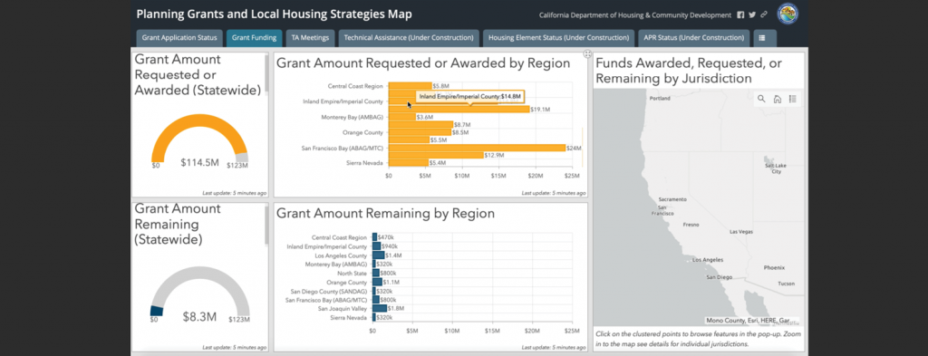
As one of Esri’s GeoDesign initiative key business partners, we are instrumental in the development of their ArcGIS Urban platform and have become the “go-to” firm for the utilization of ArcGIS Urban in community development. We also hold ArcGIS Specialty designations for ArcGIS Urban, ArcGIS Online, and Release Ready.