Elk Grove Disaster Preparedness Project
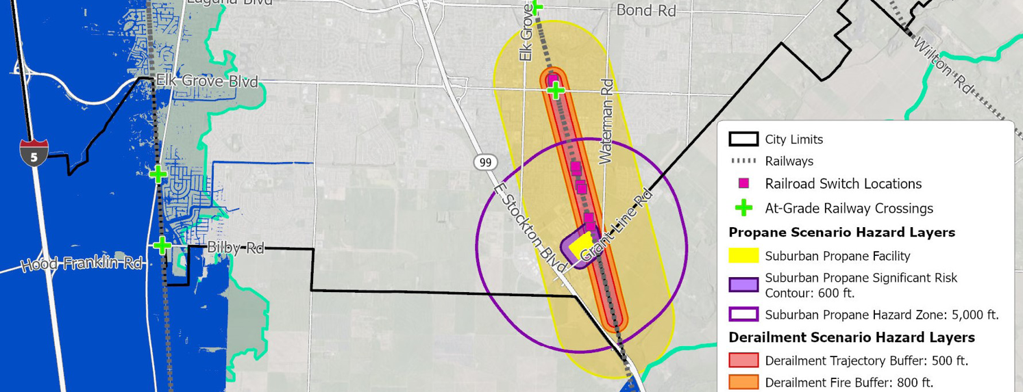
PlaceWorks prepared a report and online Story Map for the City of Elk Grove to analyze three potential disaster scenarios: an explosion, a train derailment and toxic spill, and a major flood.


Client
City of Elk Grove
Location
Elk Grove, California
Services
- GIS
- Climate Action & Resiliency
- Disaster Preparation
- Comprehensive Planning
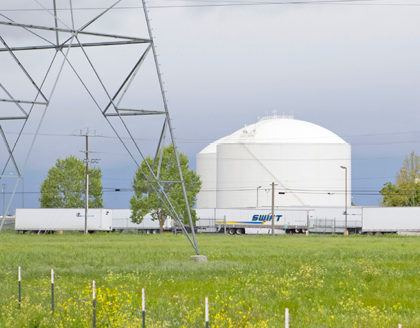
PlaceWorks relied on its extensive experience in disaster preparedness, climate action planning, and geographic information systems (GIS) to develop the disaster preparedness project. PlaceWorks staff analyzed three scenarios: 1) an explosion (blast wave and resulting fire) at the Suburban Propane facility in southeastern Elk Grove; 2) a train derailment and potential toxic spill along the railroad track through central Elk Grove; and 3) a major flooding event resulting from a Sacramento River levee break just west of Elk Grove.