San Bernardino Countywide Plan
This innovative, county-wide general plan was the first completely web-based general plan and used geographic information system (GIS) mapping and analysis as its foundation.
Client
County of San Bernardino
Location
San Bernardino County, California
Services
- Comprehensive Planning
- Community Participation
- GIS
- CEQA/NEPA Compliance
Awards
- 2021 Comprehensive Planning Award of Merit: Large Jurisdiction, California APA, Inland Empire Section
- 2018 Community & Economic Development Achievement Award, National Association of Counties
- 2018 Public Outreach Award, California APA, Inland Empire Section
- 2018 Best Practices Award of Merit, California APA, Inland Empire Section
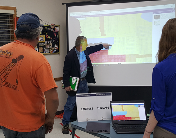
This web-based “complete county” plan complements the countywide vision, covers all county government services, and guides county decision making, financial planning, and communications. Users are able to easily access a wealth of data on the county and its operations as well as community action guides to enable local residents to independently undertake positive change. The plan was developed over five years, with additional support over the first two years on focused implementation and refinement.
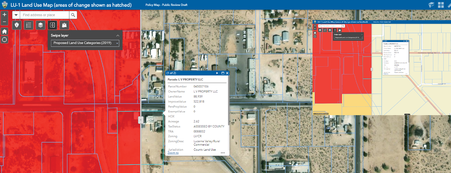
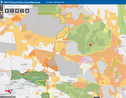
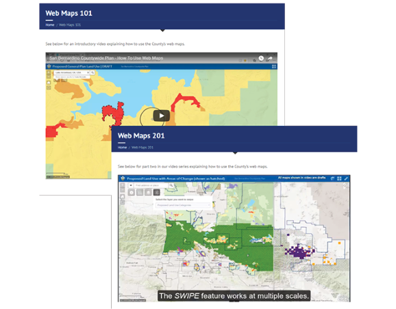
Geographic information system (GIS) mapping and analysis was an important component of the plan. Extensive use of GIS provided the foundation for nearly all analysis as well as the visual depiction of county policy (both as PDFs and web-based maps). GIS was used to create, not only static maps, but dynamic and interactive tools so that county staff and the public could comment, edit, and make decisions directly through web-based maps during the preparation and outreach phases.