San Bernardino Countywide Plan & EIR
This web-based “complete county” plan complements the countywide vision, covers all county government services, and guides county decision making, financial planning, and communications.


Client
County of San Bernardino
Location
San Bernardino County, California
Services
- Comprehensive Planning
- Community Participation
- Climate Action & Resiliency
- Economics
- GIS
- CEQA/NEPA Compliance
- Air Quality & GHG
- Noise & Vibration
Awards
- 2021 Comprehensive Planning Award of Merit: Large Jurisdiction, California APA, Inland Empire Section
- 2018 Community & Economic Development Achievement Award, National Association of Counties
- 2018 Public Outreach Award, California APA, Inland Empire Section
- 2018 Best Practices Award of Merit, California APA, Inland Empire Section
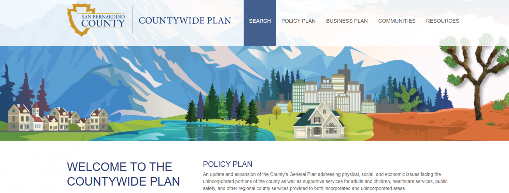
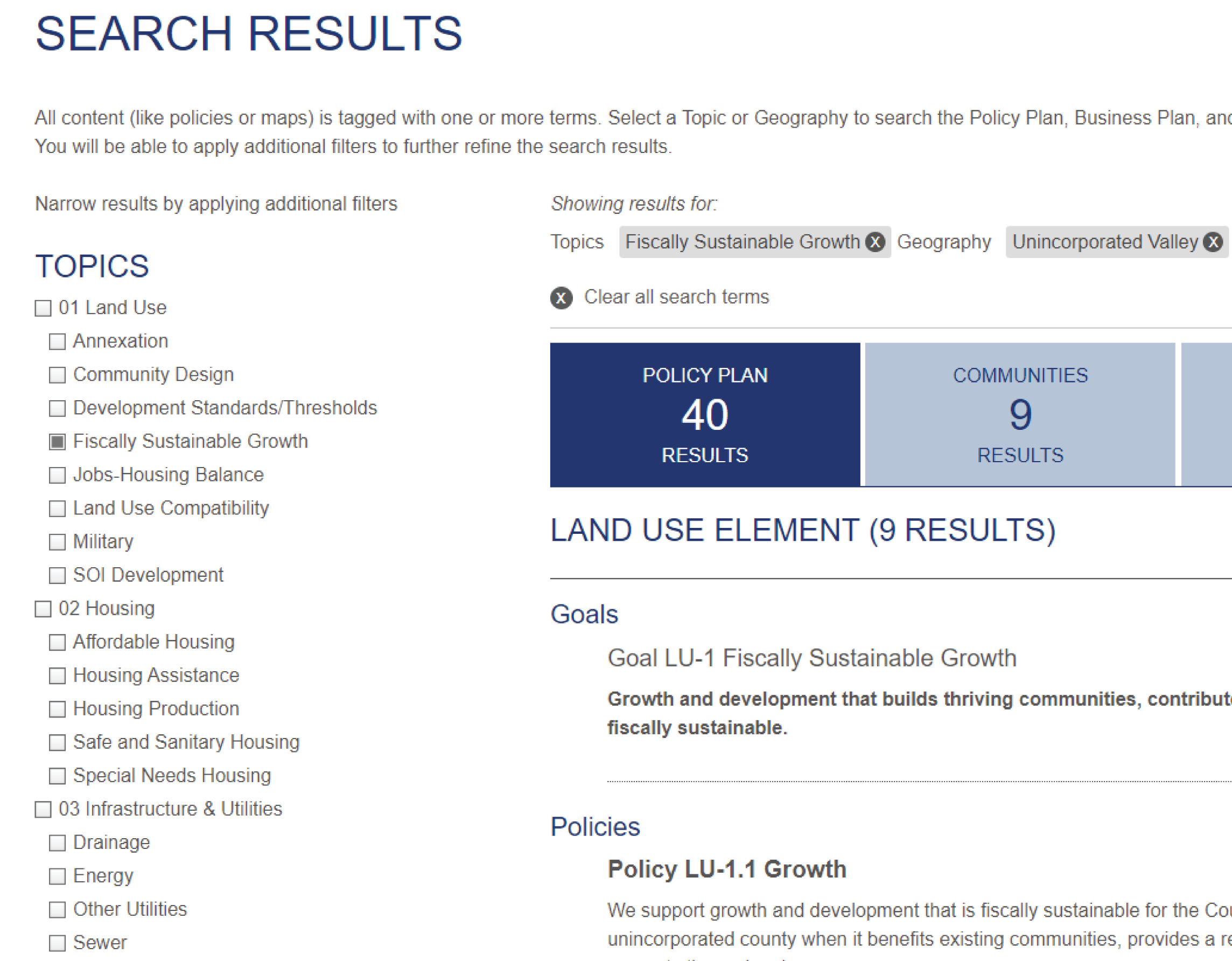
PlaceWorks led an effort to go farther with a general plan than any county or city has ever gone. With this searchable web-based plan, users can easily navigate and find the most important and relevant information across topics (goals, policies, maps, tables, and community action statements) and geographies (countywide, unincorporated, and community). A collection of over 40 web-based maps enables users to interact with dozens of data layers across the entire county down to the parcel level. The plan was developed over five years, with additional support over the first two years of focused implementation and refinement.
The Policy Plan updates and expands the general plan for the unincorporated areas while also addressing regional services like healthcare, public safety, and economic development. The effort also introduced a new system of community planning that articulates what is important to each community, with a greater focus on community self-reliance, grass-roots action, and implementation. Finally, the Business Plan presents governance policies, implementation planning, and operational metrics that guide the County’s approach for providing municipal and regional services.
Outreach included over 80 public meetings with the public and stakeholders in unincorporated communities—workshops, briefings, study sessions, and hearings; coordination with local, regional, state, and federal agencies and organizations; and a project website and other online engagement tools.
To understand the potential implications of growth options, support policy development, and inform the EIR, our team conducted scenario modeling that considered factors and implications related to land use, traffic, noise, economics, fiscal flows, natural and cultural resources, fire hazards, hydrology and water quality, utilities, and air quality and greenhouse gas emissions. Finally, a program EIR provided environmental clearance and streamlined CEQA review for future planning and development projects.